FIPL Funded Map of Maps
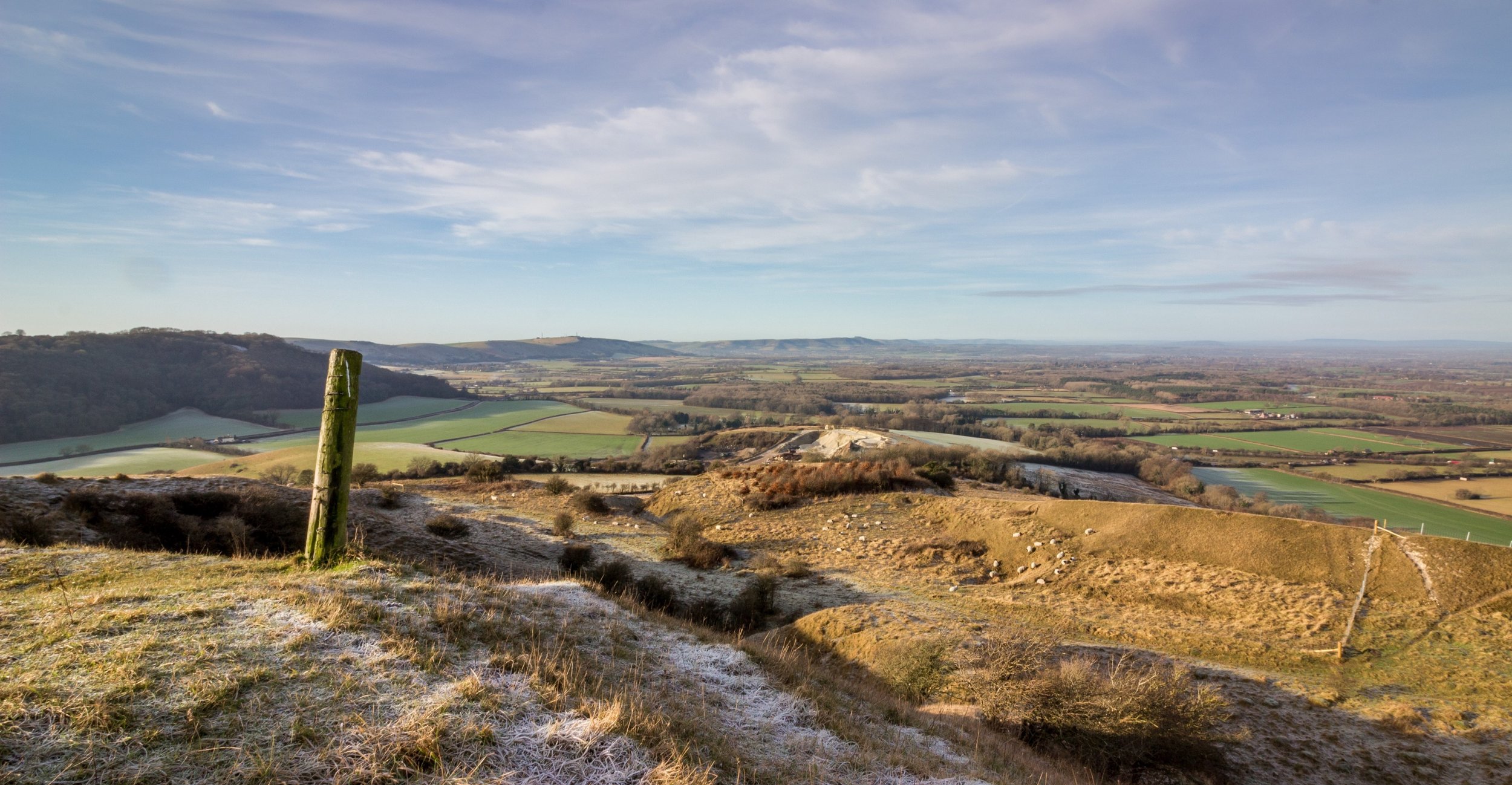
The premise for this project was to better prepare the cluster for future opportunities around ELMS and other potential sources of funding being made available to farmers for example private nature markets. The project aimed to identify existing habitats, priority features and stewardship options to demonstrate what is currently on the ground. From there, the group can identifiy opportunities to improve connectivity for the benefit of nature which could be achieved through farm level and wider collaborative approaches to land management. The idea had been taken up by other clusters in the area and was endorsed the South Downs National Park authority.


Three Main aspects of Delivery:
Base map preparation and desk work

Farm Visits

Update final map to reflect